


Compatible:
-DJI Matrice 400
-DJI Matrice 350 RTK
-DJI Matrice 300 RTK (wajib mengganti remote ke DJI RC PLUS)
Rekomendasi penggunaan:
-Mapping
-Survey
-Inspeksi
Ringakasan:
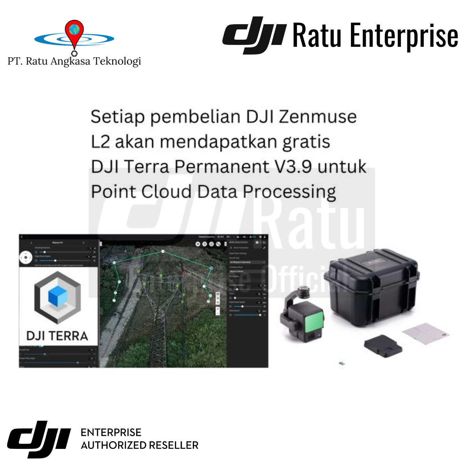
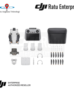
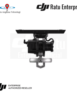
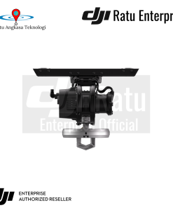
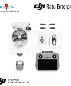
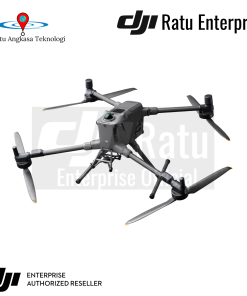
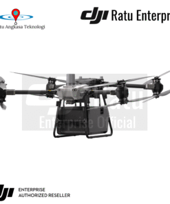
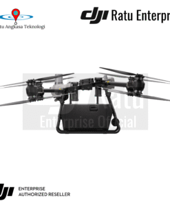
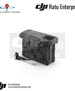
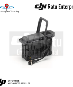
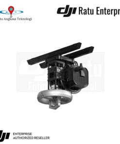
DJI Zenmuse L2 merupakan generari kamera LiDAR terbaru untuk DJI Matrice 350 RTK dan DJI Matrice 300 RTK. Desain frame yang terintegrasi dengan self-developed high accuracy IMU Module dan kamera RGB 20MP dengan sensor 4/3 mapping camera yang memberikan data yang lebih akurat, Mampu meng-cover data hingga hingga 2km² dalam sekali terbang dan memberikan keakurasian hingga 5cm horizontal dan 4cm vertikal. Peningkatan scanning area hingga 30% dari DJI Zenmuse L1, sehingga data tetap akurat walaupun drone terbang di ketinggian 120m. DJI Zenmuse L2 dapat mendeteksi objek yang lebih kecil dengan detail yang lebih tinggi dan mampu menembus vegetasi yang padat dikarenakan adanya peningkatan Returns hingga 5 titik (yang sebelumnya hanya 3 titik di DJI Zenmuse L1). DJI Zenmuse L2 mendukung dua Scanning Mode, yaitu Repetitive Scanning dan dan Non-Repetitive Scaaning. Kefektifan pengambilan data juga ditingkatkan menjadi 240.000pts/s sehingga dapat mengakusisi data yang lebih akurat dan lebih banyak dibandingkan pendahulunya. Bahkan kamera RGB DJI Zenmuse L2 dapat mengambil foto dengan sangat cepat, yaitu hanya 0.7 detik per pangambilan foto


Reviews
There are no reviews yet.